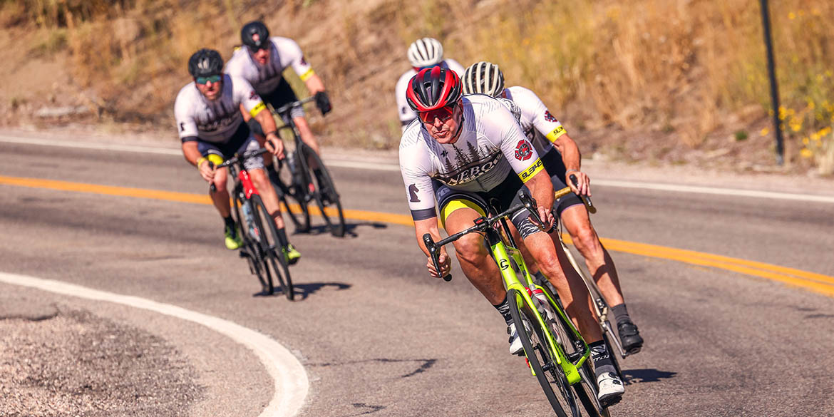
PRESTON TO MONTPELIER
47 MILES TO MONTPELIER — Sixty percent of the mileage in this section will be spent pedaling uphill. North of Preston, expect a short climb and a fast descent into Riverdale, where LoToJa’s long 22-mile climb to the top of Strawberry/Emigration Canyon begins. No support vehicles are allowed in this canyon. The two steepest sections are at the top, both between 6 to 8 percent gradient and three miles in length. The first leads to a false summit. The neutral-only Strawberry feed zone (FZ2) is located one-mile before the top (elevation 7,424 feet). After descending 1,500 feet to the Bear Lake Valley, the last eight miles to Montpelier (Feed Zone 3) are flat.
ELEVATION: Start at 4,726 / End at 6,002
DISTANCE (miles): Race Full = 46.9; Ride Full = 46.5; Race/Ride Relay = 46.6
For RACE FULL-distance categories:
For RIDE FULL-distance categories:
For RACE and RIDE RELAY categories:
